Reads GML-format used by WFS-services. GML is XML-based format with several different versions (e.g. KuntaGML, Finnish National Land Survey KTJkii). Object geometry (points, lines, area) is same in all versions, but attribute data (codes, attributes) is different in each version.
Format cannot currently be written.
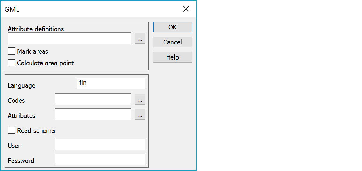
GIS-attribute type definitions needed for writing.
Marks closed breaklines as areas.
Calculates area point for closed breaklines. The calculated point is always inside the area.
Code and attribute extraction can be done by given files or by direct internet connection with Read schema setting. By default, Read schema is on. For more information, see Attribute data extraction below.
Service username and password.
Password is displayed in dialog as asterisks and it is crypted with program's licence number in the settings file. If the licence number changes, password must be entered again.
Separate schema file is needed for attribute and data extraction. This file should have same name as the data file with extension xsd and it must be in the same directory. For example, WFS-service returns files wfs.gml and wfs.xsd. Schema file can contain all required definitions or also links to other definitions in internet requiring net connection.
Reading complex definitions over internet connection can be quite slow. It is possible to extract required information from the schema only once and store it to files, which are then added to converter settings. When the converter reads file with the Read schema -setting on, it extracts codes and attributes to two files in the user's settings directory: auto_code_tag.txt and auto_attr_tag.txt. Below are examples from National Land Survey service. These files can then be renamed (e.g. ktj_code_gml.txt and ktj_attr_gml.txt) and added to the converter setting fields Codes and Attributes. When the Read schema -setting is then turned off, files are used for attribute data extraction and internet connection is not needed.
Every different GML-version requires own files. So, the best option is to create separate converter definitions for each version (e.g. GML (Kunta), GML (KTJ), etc.). Different file extension can be given in WFS-service settings for each service. For example, the extension ktj can be given for National Land Survey service, which then reads file with the name wfs.gml.ktj. When the extension *.ktj is then set to appropriate GML-converter definition, correct converter is automatically used for reading.
Extraced codes in file auto_code_tag.txt:
! C:\Users\Mikko\Data\Web\mml_tm35.gml
http://xml.nls.fi/ktjkiiwfs/2010/02^KiinteistorajanSijaintitiedot
http://xml.nls.fi/ktjkiiwfs/2010/02^KiinteistorajanTietoja
http://xml.nls.fi/ktjkiiwfs/2010/02^PalstanTietoja
http://xml.nls.fi/ktjkiiwfs/2010/02^PalstanTunnuspisteenSijaintitiedot
http://xml.nls.fi/ktjkiiwfs/2010/02^RajamerkinTietoja
http://xml.nls.fi/ktjkiiwfs/2010/02^RekisteriyksikonPalstanTietoja
http://xml.nls.fi/ktjkiiwfs/2010/02^RekisteriyksikonTietoja
Extraced attributes in file auto_attr_tag.txt:
! C:\Users\Mikko\Data\Web\mml_tm35.gml
http://xml.nls.fi/ktjkiiwfs/2010/02^interpolointitapa
http://xml.nls.fi/ktjkiiwfs/2010/02^kiinteistorajalaji
http://xml.nls.fi/ktjkiiwfs/2010/02^kiinteistorajanTietoja
http://xml.nls.fi/ktjkiiwfs/2010/02^kiinteistotunnus
http://xml.nls.fi/ktjkiiwfs/2010/02^lahdeaineisto
http://xml.nls.fi/ktjkiiwfs/2010/02^lakkaamispvm
http://xml.nls.fi/ktjkiiwfs/2010/02^maapintaala
http://xml.nls.fi/ktjkiiwfs/2010/02^nimi
http://xml.nls.fi/ktjkiiwfs/2010/02^numero
http://xml.nls.fi/ktjkiiwfs/2010/02^numeronSiirtymaI
http://xml.nls.fi/ktjkiiwfs/2010/02^numeronSiirtymaP
http://xml.nls.fi/ktjkiiwfs/2010/02^olemassaolo
http://xml.nls.fi/ktjkiiwfs/2010/02^olotila
http://xml.nls.fi/ktjkiiwfs/2010/02^paivityspvm
http://xml.nls.fi/ktjkiiwfs/2010/02^rajamerkinTietoja
http://xml.nls.fi/ktjkiiwfs/2010/02^rajamerkkilaji
http://xml.nls.fi/ktjkiiwfs/2010/02^rakenne
http://xml.nls.fi/ktjkiiwfs/2010/02^rekisteriyksikkolaji
http://xml.nls.fi/ktjkiiwfs/2010/02^rekisteriyksikonKiinteistotunnus
http://xml.nls.fi/ktjkiiwfs/2010/02^rekisteriyksikonPalstanTietoja
http://xml.nls.fi/ktjkiiwfs/2010/02^rekisterointipvm
http://xml.nls.fi/ktjkiiwfs/2010/02^sijainti
http://xml.nls.fi/ktjkiiwfs/2010/02^suhdeMaanpintaan
http://xml.nls.fi/ktjkiiwfs/2010/02^tasosijaintitarkkuus
http://xml.nls.fi/ktjkiiwfs/2010/02^tekstiKartalla
http://xml.nls.fi/ktjkiiwfs/2010/02^tunnuspisteSijainti
http://xml.nls.fi/ktjkiiwfs/2010/02^vesipintaala
See also: Common special settings