 WFS Fetch WFS Fetch
Function allows vector map fetching from web services using WFS protocol. New connection is configured with Add-button.
When fetching maps, the connection is first selected from the list on top. Rectangle corner coordinates is given with mouse and layers selected from a list. Fetched vector map file is added to the element list.
Network settings can be found under file settings.
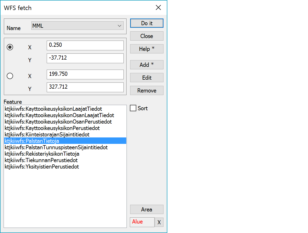
Connection selection.
Fetched area coordinates are selected with mouse. Option Off can be used to turn dialog updating off temporarily.
List of service feature types supporting coordinate system selected in settings. Several features can be selected here with Shift or Ctrl modifier keys.
Sort features according either service defined order or alphabetical order.
Adds new connection and opens its settings. With Shift-modifier current connection settings are copied.
Opens connection settings for editing.
Removes current connection.
Starts fetch area pointing mode.
Field displays current mode. X-button quits the mode and returns to the normal state. X-button with the Alt-key makes dialog inactive. Inactive dialog remains visible, but does not react mouse pointing. Pressing the X-button again activates dialog.