You can use the attribute data to define some information to be shown using function Point info. Attribute data can have also special values (macros), to show values for slope and distances in the screen.
If an attribute has a value starting with #-character, it is converted to a text and shown between the previous two points in the profile.
The following macros can be used:
#SLOPE slope between two points
#DA/#DB horizontal distance between two points
#DAZ/#DBZ slope distance between two points
#DZ height difference between two points
Value can be formatted using text format rules. Amount of decimals can be given with definition %.1 (e.g. #DZ%.2). Slope format can also be ratio (#SLOPE%q.1) or percent (#SLOPE%p.1 or #SLOPE%p%.1). Latter definition adds percent sign after the value.
The sama parameters can be used in the function "Show point" -in Attribute field. Now it will concern all surfaces and points.
Makrolla #THICK saadaan kuvaan pintojen väliset kerrospaksuudet. Paksuudet esitetään tarkenuolina, joten poikki- tai pituusleikkausikkunassa pitää ottaa käyttöön tarkeasetukset (Ikkuna/Tarkeasetukset). Pelkkä #THICK tuo kerrospaksuudet kaikkien pintojen väliltä. Nuoli piirretään ylemmän pinnan pisteestä alempaan pintaan. #THICK0 tuo paksuuden vain keskilinjan kohdalle ja #THICKn tuo paksuuden vain pinnalle n. Jos lisäät makron perään U, piirretään nuoli alemmasta pinnasta ylempään tai jos lisäät makron perään B, piirretään nuolet molempiin suuntiin. Voit antaa kenttään useita makroja pilkulla erotettuina (esim. #SLOPE,#THICK1,#THICK11U).
N.B Additional information between two points (e.g. #SLOPE) is not written, if distance between points is too small to show the text. Use Zoom in to see also these texts.
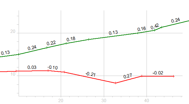
Below an example of additional information.