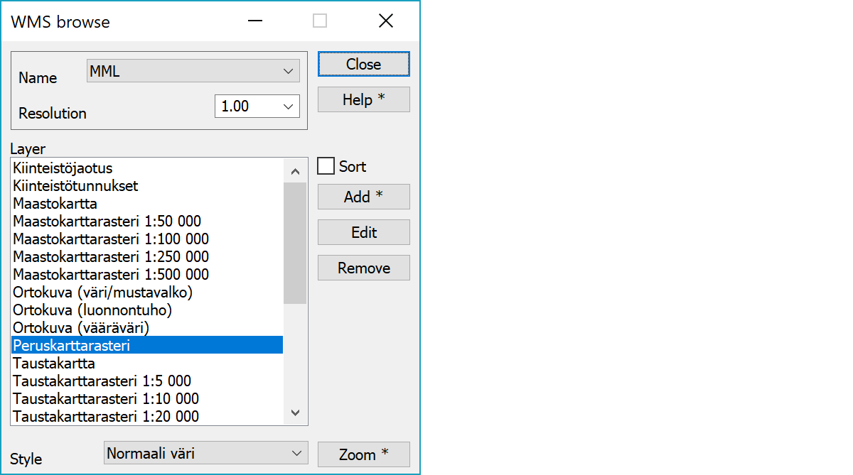
 WMS Browse WMS Browse
Function allows raster map browsing from web services using WMS protocol. Every time the screen zooming is changed, new window size image is fetched from the service. The usage speed is dependent on fetched image size, fetch resolution, network connection speed and service speed. New connection is configured with Add-button.
Network settings can be found under file settings.
Connection selection.
List can be used to select image resolution scale for faster browsing. Value 1.0 represents screen pixel and smaller values decrease quality. For example, value 0.5 halves image resolution.
List of service image layers supporting coordinate system selected in settings. If the service supports layer combining, several layers acn be selected here with Shift or Ctrl modifier keys.
Drop down list below layers displays supported styles, if available.
Displays map layers either in service defined order or alphabetically sorted.
Adds new connection and opens its settings. With Shift-modifier current connection settings are copied.
Opens connection settings for editing.
Removes current connection.
Zooms screen to the selected layer area. This requires that the service capabilities file contains layer area in used coordinate system.
With Shift-key finds smallest scale layer and zooms to it. This can be used as a starting layer for browsing.