Reads coordinates from JPG image file Exif data and creates point to that position. The image file name is stored to the point as an attachment attribute. Image direction, date, time and GPS data are also read to attributes, if found.
Coordinates in the Exif data are always in WGS84 degrees. These can be changed to rectangular system by converter coordinate settings systen change option (e.g. Euref/WGS84 - TM35).
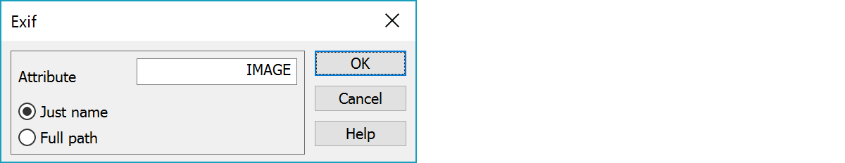
Image attachment attribute name.
Determines if the image attribute is stored with just file name or with full path.
See also: Common special settings