Reads and writes Finnish National Land Survey Topographic database GML-files.
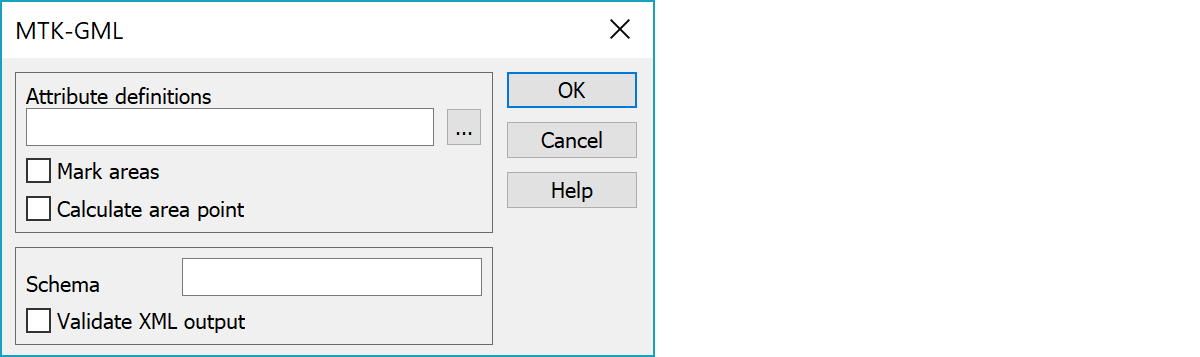
GIS-attribute type definitions needed for writing. Can be used also in reading for describing attributes for all features.
Marks closed breaklines as areas.
Calculates area point for closed breaklines. The calculated point is always inside the area.
XML schema address written to the file header. Empty value uses default schema.
Validates the written XML file syntax by reading it back.
See also: Common special settings