Geonic coordinate files. Comment line after the point is stored to point as an attribute.
Uses the same coding system as 3D-Win. However, field width is limited to eight characters. Lines are formed according field T2: 0 or empty means single point and new line starts when the number changes.
Format header file can contain macros and file attributes. Because the line coding is based on the line numbers, letter X is added to the field T2 of the latter of adjacent lines with same number. Also, T2 is cleared from single points.
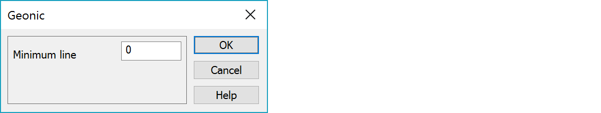
Lines numbers smaller than this value are handled as single points.
       9       0     420    3204   6697132.756   3444210.952         7.459
       9       0     420    3205   6697132.847   3444209.549         7.537
       9       0     234    3206   6697121.180   3444207.073        10.273
       9       0     251    3208   6697255.539   3444434.570        16.103
       1     501     123    2326   6697095.630   3444136.431         8.716
       1     501     123    2327   6697097.182   3444147.189         8.227
       1     501     123    2328   6697098.268   3444164.049         7.683
       1     501     123    2329   6697100.898   3444181.102         7.310
       1     501     123    2330   6697104.605   3444197.432         7.229
       1     502     121    2392   6697099.749   3444142.262         8.549
       1     502     121    2393   6697100.635   3444155.809         8.035
       1     502     121    2394   6697102.206   3444172.439         7.585
       1     502     121    2395   6697105.424   3444188.346         7.347
!T 6697150.522 3444163.549 100.0   4.0        2 Grankulla
!T 6697195.116 3444390.328 100.0   4.0        3 Mjölnarbacken
There are some special settings related to this converter.
1 write empty field if Z = 0 - Write empty field for zero heights.
See Cable coding
See also: Common special settings