LandXML file can contain several different types of data and, if necessary, even whole project.
Single vector surface, terrain model or road alignment can be read from the file. Content function displays items of specified type and allows one to be selected. When writing LandXML format, only single element of given type is written to the file.
Header information written to the LandXML file is defined in converter project settings. The coordinate system of the written file is also defined there.
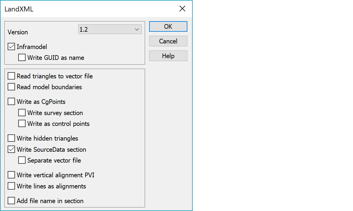
Written LandXml file format version.
Writes file according Inframodel 4 specification (<http://www.inframodel.fi). Inframodel is based on LandXML 1.2 specification and so forces write version 1.2.
Writes GUID attribute to Surface and Alignment block names.
Reads terrain model triangles as breaklines to vector file.
Reads also terrain model boundary lines to vector file.
With InfraModel-setting writes points and lines to root CgPoints block. Without InfraModel-setting writes just single points as CgPoints-objects with point number. Write Survey block setting writes points and lines to a separate Survey block.
Writing as control points writes measured points with controls, if the Write Survey block setting is on. Otherwise points are written as theoretical points with tolerance information from file attributes.
Writes also hidden triangles.
Writes terrain model with SourceData section containing original points and breaklines. By default these come directly from the model. Separate vector file setting gets these from separate vector file in the element list with same name as the written model file.
Writes vertical alignment points also to arc start and end.
Writes breaklines as road alignments.
Writes file name in surface/alignment section, e.g. "name - surface".