 Coordinate system Coordinate system
Coordinate system change for active file.
Function makes automatically required ellipsoid transformations between KKJ and TM coordinate systems. Additinally, lists contain special WGS84 'zone', which means WGS84 latitude and longitude in degrees.
Function can also transform raster images. Normally transformation is first made for image corner coordinates and these are then used to calculate affine transformation. The image itself is transformed with this affine transformation, which is much faster than accurate coordinate system change. The accuracy of affine transformation is enough for most purposes. Accurate transformtion can be selected with setting below.
Transformed image is marked as modified and it can be saved later. Saving opens converter list for raster format writing.
By default lists show all available coordinate systems. Unneeded national systems can be removed in program startup settings. For additional information about coordinate systems, see Zone-function.
Executing function transforms the active element list file by default. With the Shift-key all element list files are transformed. With the Alt-key old coordinates are stored to the point attributes _X, _Y and _Z.
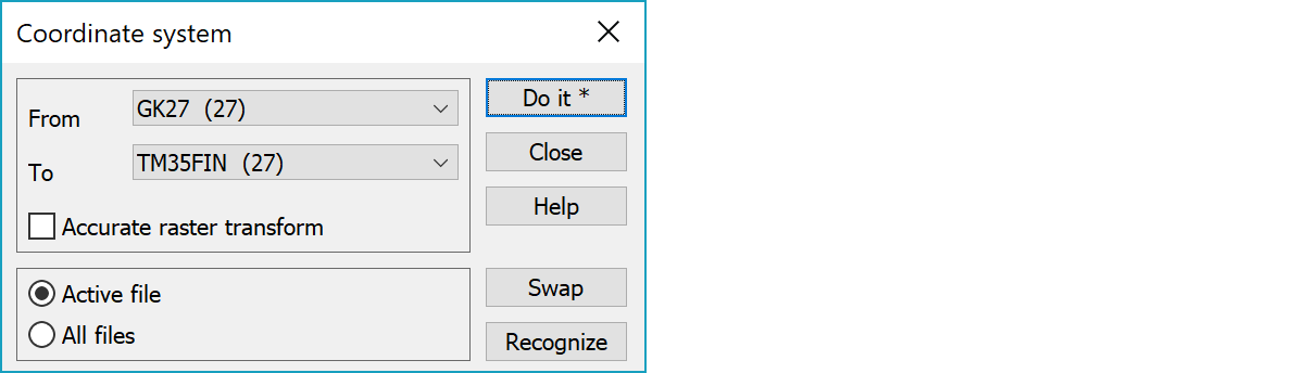
Original and destination coordinate systems.
Makes accurate transformation for each raster image pixel. Slow with big images.
Function transforms either the active file or all files in the element list.
Swaps the direction of transformation.
Tries to recognize the active file coordinate system from its easting coordinate. Recognizes WGS84-, TM35-, KKJ- and GK-systems.