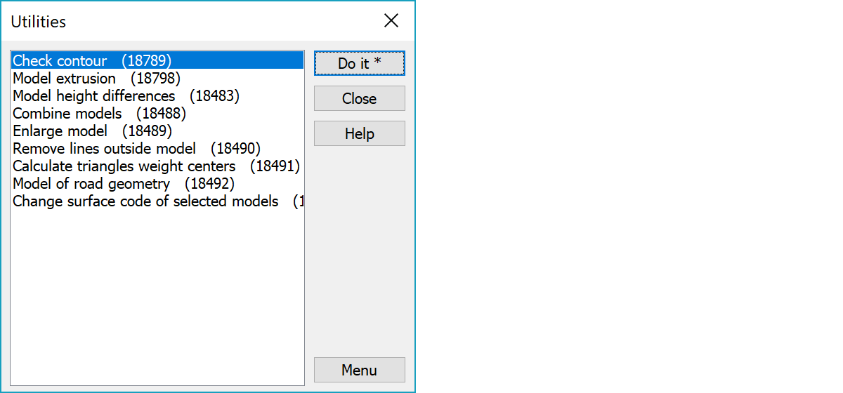
 Utilities Utilities
Miscellaneous utility functions are selected from the list and started with Do it-button.
The number in parenthesis after function name is a menu function parameter to open the specific function directly from menu. The Menu button opens menu item creation dialog with selected function.
Additional documentation available in forum: http://www.3d-system.net/forum
Jos korkeuskäyrät on tehty jollakin muulla ohjelmalla, niiden kulkusuunta ei välttämättä noudata samaa sääntöä kuin 3D-Win. Tällöin esim viettoviiva tai korkeuskäyrän lukema tulee väärinpäin. Voit tällä toiminnolla kääntää käyrien kulkusuunnan. Kolmioi aineisto ensin ja laita alkuperäinen tiedosto aktiiviseksi. Käyrien kulkusuunta käännetään siten, että käyrän vasemmalla puolella on nouseva rinne. Shift-näppäimen kanssa käännetään päinvastaiseen suuntaan.
Toiminnolla voidaan nostaa maastomallin pintaa annetulla paksuudella. Paksuus vaikuttaa kohtisuoraan kolmion tasoon eikä suoraan Z-suunnassa. Pursotusta käytetään, kun pintaan halutaan tietty paksuus kolmion kaltevuudesta riippumatta esimerkiksi 15 cm multakerroksen lisääminen.
Toiminnon avulla löydetään mallista kohdat, joissa kahden kolmion kääntäminen keskenään aiheuttaa suuren korkeusvirheen. Se laskee korkeuseron näiden kahden tilanteen leikkauspisteeseen ja tallettaa tuloksen hajapisteenä, jonka Z-arvona on tuo korkeusero. Tämä tehdään kaikille mallin kolmioille, jotka voidaan kääntää. Kun syntynyt hajapisteaineisto kolmioidaan, siitä löydetään Mallin asetukset -toiminnolla mahdolliset ongelmatilanteet (=suuret korkeuserot).
Combines all adjacent models in file list. With the Alt-key creates vector file containing original triangles as breaklines.
Combines all adjacent element list models to single model. If original triangles are partially overlapping, triangulation removes other triangle. With the Alt-key creates vector file containing original model triangles as breaklines. This file can then be triangulated as a single model.
Enlarges active model to side. Asked parameters are amount of side offset and optional slope separated by comma. Slope is positive upwards and negative downwards. It can be given as 0.1, 1/10 or 1:10. If slope is not given, it is calculated from original model edge triangle slopes.
If active file is vector file, its closed breaklines are used directly as enlarged model border lines. Parameters are not asked with vector file. Slopes are calculated from breakline point heights.
Removes breakline points within active model's hidden areas.
Calculates model triangle weigth centers as single points to the new vector element. Function asks four comma separated parameters: point surface code, point feature code, minimum area and minimum side length. Surface code and feature code are set to created points. Minimum area and side length can be used to skip calculation from too small or narrow triangles. With the Shift-key calculates points only for triangles narrower or smaller than given limits.
Creates terrain model from active road alignment. Function asks four comma separated parameters: side offset, step, height difference and surface code. Side offset is model width to both sides of road line and height difference is added to the vertical alignment height. Step is interval of points calculated along the line and surface code is set to the new terrain model added to the element list.
Asks new surface code and sets it to all selected terrain models in the element list. Element list must be visible when this function is used. Operation cannot be undoed and it handles always all selected models regardless their Used or Hidden status.
Picks terrain model locked triangle sides and stores them to a new map file as two point breaklines.