 Find border lines and holes Find border lines and holes
To find holes and border lines in terrain model.
Depending on the side length the model might be in several different parts and/or there might be holes inside the model, which affect calculated volumes.
This function find the border liens (outside lines and holes) and creates break lines of them. These break lines can be coded (in T3-field) with respective codes to control outlook of lines and possible raster type. Lines will be coded as areas automatically.
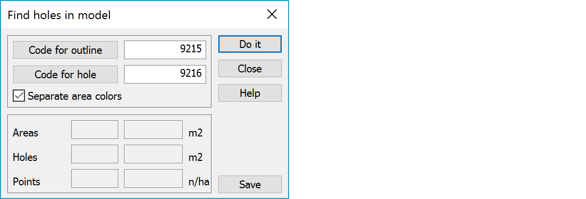
You can select the codes using code file list.
If this settings is on, each separate area gets its own color and holes inside area are not painted.
Number of separate areas and total area of triangles.
Number of holes and total area of holes.
Number of points in the model and density of the points. Density is calculated using formula :
Number of points / total area of triangles
The new lines can be saved in a new file. The function will create a file and name it as border file.